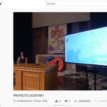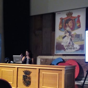
Video del proyecto LiguSTAR. LiguSTAR project Video.
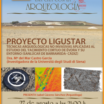
The LiguSTAR project, Ligustinus Project: New Survey Techniques for an Ancient Riparian Landscape. H2020MSCA-IF-798529. Video resumen de los trabajos realizados en las marismas del Guadalquivir durante el desarrollo del proyecto europeo LiguSTAR. El objeto del mismo era el estudio histórico … Continued